|
|||||
|
|||||


|
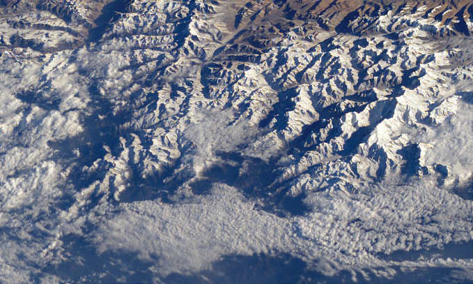
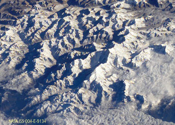
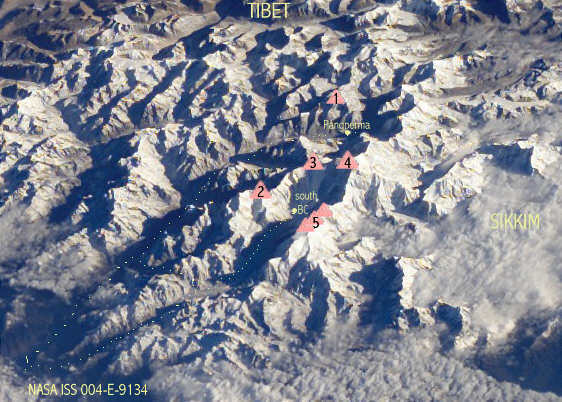
Space pictures of Nepal, Tibet and the Himalaya
East-Nepal and Kangchenjunga
Credit "Image courtesy of Earth Sciences and Image Analysis Laboratory, NASA Johnson Space Center." See http://eol
.jsc.nasa.gov , Part of Picture ISS004-E-9134, Adaption Andrées de Ruiter www.nepal-dia.de Kangchenjunga-range
1 Drohma peak 6850, 2 Kumbhakama 7719 m, 3 Kambachan 7902 m, 4 Kangchenjunga 8586 m, Kangchenjunga
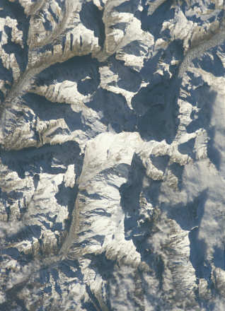
Credit: "Image courtesy of Earth Sciences and Image Analysis Laboratory, NASA Johnson Space Center." See http://eol.jsc.nasa.gov , Picture ISS008-E-6334 , adaption Andrées de Ruiter www.nepal-dia.de back to the overview space pictures of Nepal
These pictures are kindly provided by the Nasa Johnson space center and you can download free more than 40000 of them. I myself made the selection, some adaptions and added names. Feel free to add them to your own hompage, but please add the credit as mentioned below of each picture.
|
||||||