|


|
Nepal, Trekking around Annapurna - the Manang side
you can enlarge most small pictures by clicking in on of the corners.
NATT trail No. 33 From Tilicho lake to Jomsom
Please remember, that the trail shown here are only drawn by memory and not accurate. there is now also a map of himalayan Map house whichs shows the trail over Mesokanto north
How to go to the western shore of the lake? For both passes you first have to reach the western part of the lake. This is not easy as on the left southern side of the lake often avalanches come down on the glacier and on the right lake side huge cliffs definitively obstruct any forthcoming.
The cliffs make it impossible to walk along the lake to the western shore.
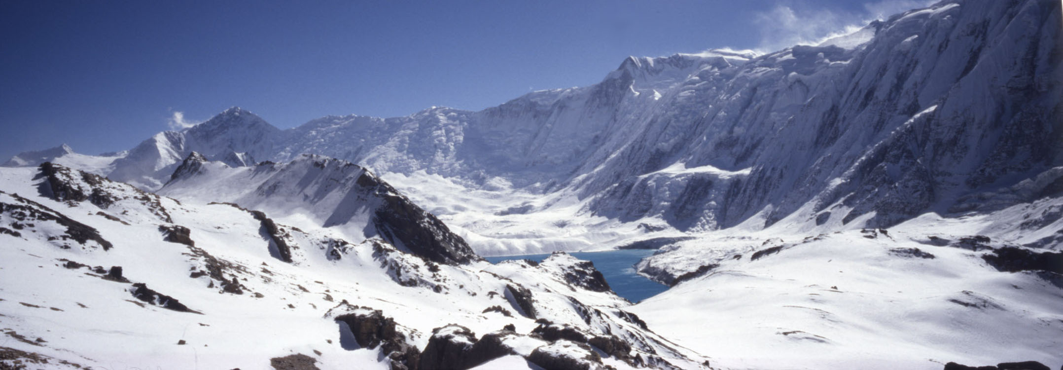
Because Tilicho lake is so beautiful many people like to camp the first day on the eastern shore to have more time to explore the beautiful scenery. Photo Prem Rai
Conturning the northern Hill
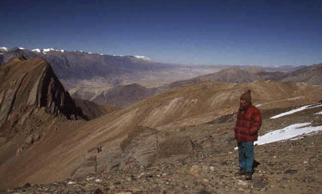
Picture on the left sid. view back after passing the rock hill.The terrain is rather flat.
After a while there seems to be a possibility to go down on the left side to the lake, beware of this, it will bring you again just before the cliffs and all the climbing was in Vain!. . It is just the second valley which will lead you to the lake. Instead of going down, you could directly continue straight to the Mesokanto La North, it is probably just around 2,5 hours to the next camp site. But far nicer is to descent to the western base camp at the lakes shore with wonderful views of Tilicho lake. if you started early in the morning from Tilicho base camp lodge you can reach the western Campsite in the same day Western Camp site
crossing tilicho Tourist La /Mesokantu north
Start from the campsite in direction where you were coming the day before but then climb the hill slope. After some beautiful viewpoints overlooking the lake you will approach the pass V
Tilicho lake a seen on the trail going to Mesokanto north Photo XXL
The Pass
From the pass on can see deep into Tibet (with Bachan Rai) After the pass After the pass the trail descends first in northern direction to turn down the valley before a huge and spectacular rock formation. Cross the river and climb directly the other hill side. On top there is a flat terrain suited for camping but without water. In 1999 there were big cairns showing the direction. The trail is descending from this plateau a little bit more southern on a ridge and will bring you to a bridge over the river below. After a while you will pass by a goat farm an then reach Thini /Thinigaon which is already close to Jomsom Mesokanto la (south) One is the Mesokanto La, marked in all the maps but fairly difficult. The ACAP has also put up a signpost. Prem Rai crossed this pass in 2011 and found it very difficult and dangerous. The trail down to Kali Gandaki follows the south side of the valley passing an abandoned army camp. i hope that i will be able to explore the two Mesokanto passes more precisely in October 2015 here are some Photos from Prem Rai.
a last Camping And finaly Thini
Overview Annapurna region Tilicho lake   To the page To the page
|
||||||


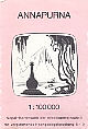 This picture is from the german Schneider Map which is unfortunately outdated for the
other trekkingtrails. but excellent for the map itself.
This picture is from the german Schneider Map which is unfortunately outdated for the
other trekkingtrails. but excellent for the map itself.


