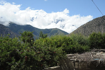
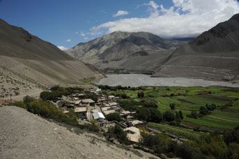
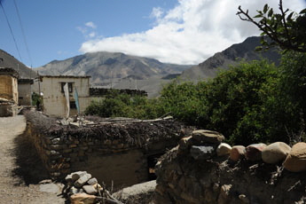
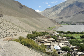
Nepal, Trekking around Annapurna - the Jomsom sidePfeil gelb rechts Gif transp

Pfeil gleb Gif transp Annapurna Circuit:  on this page you will find information and pictures of the trail starting in Eklebhatti  and passing by Pakling, Phalyak, Dagajhoing to the windy pass and then down to Jomsom.


you can enlarge most small pictures by clicking in on of the corners.
If you want to see a picture in full sizze, click additionally on F11


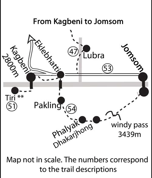
NATT trail No. 54:  From Kagbeni to Jomsom by the high route and over  the windy pass **


Pic 19 Map Kagbeni to jomsom  small 500 Pix

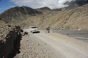
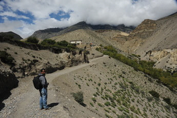
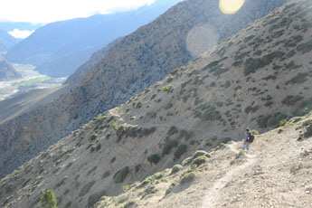
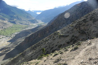
Let’s say it directly; this is an arduous trek and much more tiring than walk down in the riverbed. Instead of 2 hours from Eklebhatti it will take a full day. But what a beautiful day is awaiting you!. So if your legs are still strong (there should be no problem when you have crossed Thorong La before) and you are not in terrible hurry this is a trail which very few people take but absolutel yworth going!. I also first took it the first time only in in the year  2011! as I was not sure if there was a proper pass to cross the ridge. But finaly  I met someone who had succeeded so I went there with Prem and we even marked the trail.The three villages Pakling, Phallyak and Dagajong give you already a slight impression of the villages in Dolpo.

DSC_4117x 345

The trail starts at the long suspension bridge a little south of Eklebhatti. When you look to the other side, the whole hillside looks completely barren and dry and no one would expect a village which large fields and plenty of apple orchards up there. In fact you are just before the slope of a large plateau a little above an therefore don’t see anything.

PaklingN07-0565xPakling

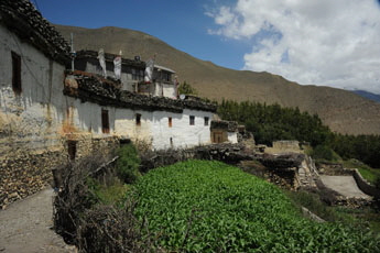
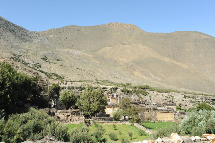
Climbing the dirt road you soon com to the little village of Pakling, which has also some field to the north in direction of Kagbeni but on the right riverside. Turn left into the village.

Pakling

DSC_4121x PaklingDSC_4126x PaklingDSC_4129x PaklingDSC_4127x PaklingDSC_4136x Pakling and KagbeniDSC_4128x Pakling

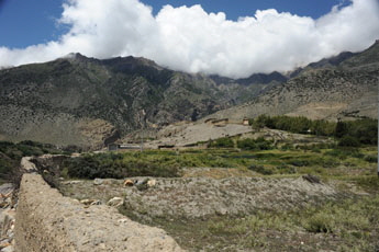
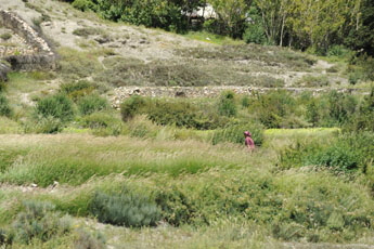
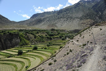
Would you ever have expected so many and large field when walking doen on the road ?

DSC_4137x fields of Pakling

The southern fields of Pakling

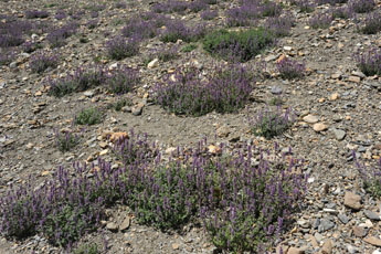
When you leave Pakling an the irrigated fields it is directly again very dry and you continue to ascend to the next village Phalyak

Phalyak

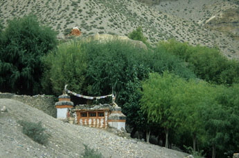
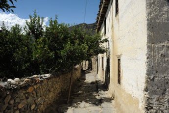
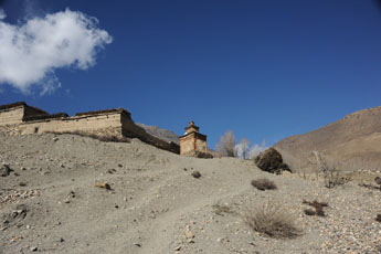
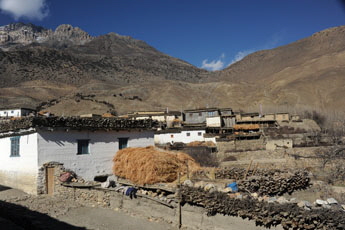
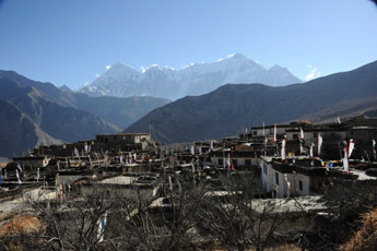
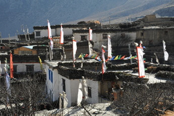
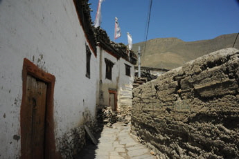
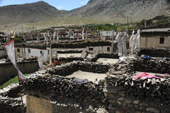
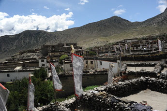
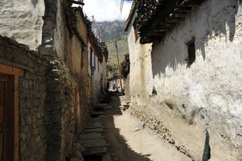
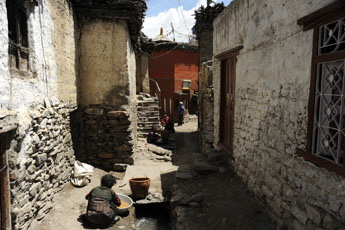
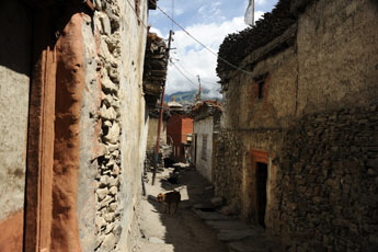
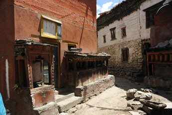
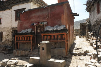
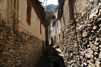
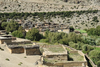
A signpost "Phalyak" will guide you up to the road again. Follow this road up and you will reach the long wall protecting the fields of Phalyak. Passing it on the left, you will see a large chorten above you on the right. This is the entrance to Phalyak. Right at the beginning of a little plaza is a big white house on your right where you can ask for cold drinks or food. Phalyak is a beautiful village where you can see already a little the influence and style of Dolpo and it is worth wandering around for a while and taking advantage of the photographic possibilities. We ordered dhal bhat and I was happy to have to wait 45 min so I had plenty of time to walk around. It is such difference to be in an authentic village rather than in a lodge settlement.

DSC_0694x PhalyakDSC_4157x PhalyakDSC_0695xPhalyakDSC_0706x Phalyak

DSC_0708x PhalyakDSC_4168xPhalyakDSC_4160x 345DSC_4156x Phalyak

DSC_4167x 3PhalyakDSC_4171x PhalyakDSC_4170x PhalyakDSC_4175x Phalyak


Dal bhat
DSC_4166x 345
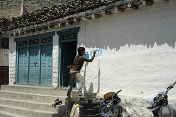
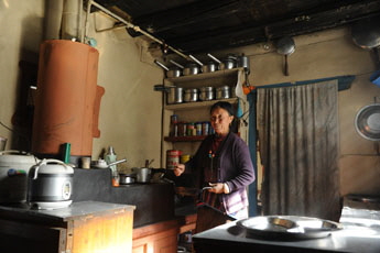
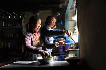
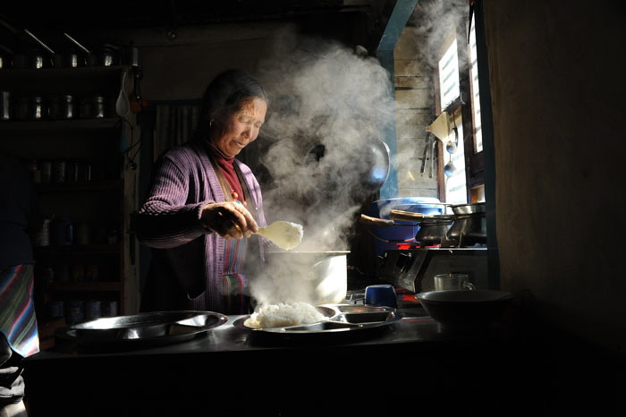
On the square the Didi of the big white house offers Dal bhat and noodle soup. We knew it because we asked but to help fellow trekkers Prem proposed to write Restaurant on the wall. I think that also accommodation should be possible, because it is a very big house. The cooking of a fresh dal bhat takes always a long time so we had plenty of time to stroll around the village. And 45 min were even not to long. i think that on my next trek i will probably stay here for one night to have emore time for thes beautiful villages.

DSC_0701x 345DSC_0697x 345

DSC_0702x Dal bhat

The little lane near the gompa- on the way to Dolpo

DSC_4178x PhalyakDSC_4179x Phalyak

DSC_4184xPhalyakDSC_4180x PhalyakDSC_4182x PhalyakDSC_4181x 345

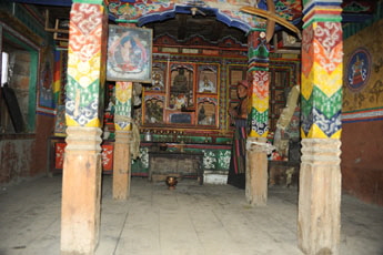
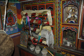
In the Gompa

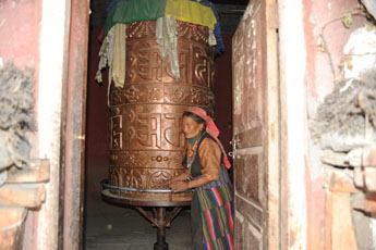
DSC_4185x Gompa of PhalyakDSC_4190x Gompa of PhalyakDSC_4186x Gompa of Phalyak When we  asked if someone could show us the gompa the people started calling in the street and finally a women came an showed us the Gompa. Near the Gompa there is another house with a lodge sign. From Phayak there is a direkt trail to the pass Saldang la and to Dolpo and i guess this is the main trail to go there. From Saldang la one should have a good view into Mustang. you probably need 2-4 hours but i have not tried it yet.

DSC_4191x 345

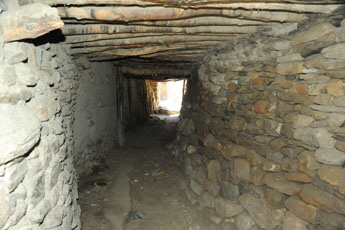
Going to Dhakarjhong; near the gompa is a sort of tunnel under a house bringing you to the outside of the village. From there you can already see the next village which is a little bit above on a plateau  on the other side of a little valley and river.


Dhakarjhong

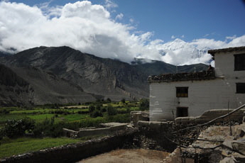
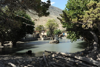
Dhakarjohng is much smaler than Phalyak and has two village parts. The lower part has very narrow lanes while in the upper part there is more space and even a littel pond.


DSC_4193x 345DSC_4194x DhakarjhongDSC_4196x DhakarjhongDSC_4197x DhakarjhongDSC_4198x DhakarjhongDSC_4200x Dhakarjhong

DSC_4199x Dhakarjhong and saldang la

Dhakarjhong : in the left corner one can seethe path climbing
up to Saldang Pass and into Dolpo

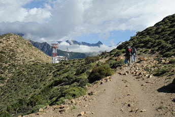
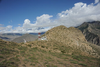
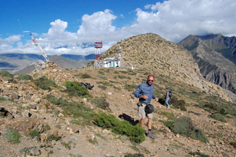
continue near the pond in direction of the ridge and the telecommunication tower, it is a steady and long ascent.

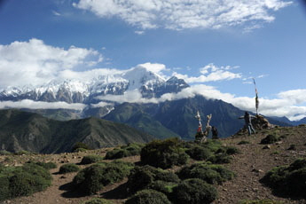
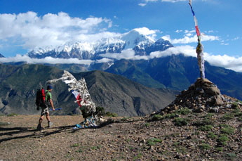
Batase Bhanyang - the windy pass (3435 m)

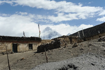
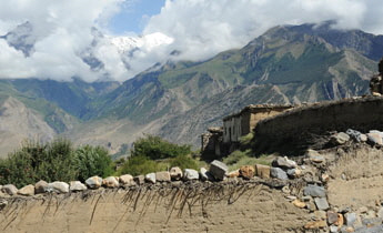
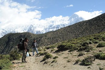
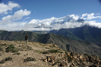
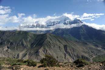
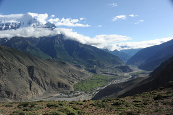
From the pass “Batase Bhanjyang” (3435 m), appropriately named since it means “Windy Pass”, one has a superb view from the left of Upper Mustang, Thorong La, Tilicho peak, the Nilgiri, Dhaulagiri and Tukuche peak. When we were there, the force 7 winds blew my glasses off my face, but the view kept us there for half an hour while the storm raged on

DSC_4202x 345DSC_4206x 345DSC_4216x 345DSC_4208x 345

it was really windy! and my glases felw away.

Foto Prem Rai  205x 345DSC_4215x 345Foto Prem Rai  211x 345DSC_4209x 345

DSC_4210x 345DSC_4212x 345

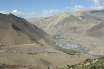
view to the north and kagbeni                        and  down to old  Jomsom


DSC_4217x 345DSC_4219x 345

It ia an other 2-2.5 hours to descent to Jomsom.


see also the fantastic picture Gallery of Vladimir Rusev who made this trail on mountain bike
 https://www.flickr.com/photos/outfaced/sets/72157648487678502/page6/

Overview Annapurna region

 Annapurna overview 

   Kagbeni to Jomsom by Road  Pfeil gleb Gif transp 

 Pfeil gelb rechts Gif transp NATT 55; Jomsom to Marpha by road

Pfeil gelb rechts Gif transp NATT 60; Jomsom to Marpha by Thini and Dumba lake


Annapurna NATT-Guide bookMap NA 503 Annapurna circuit NATTTo the page

NATT- guidebook and maps     Na 506 Muktinat jomsom    y200