|
|
Nepal, Trekking around Annapurna - the Jomsom side
you can enlarge most small pictures by clicking in on of the corners.
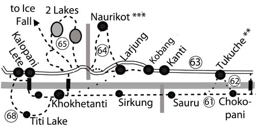
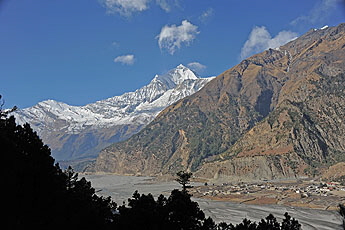
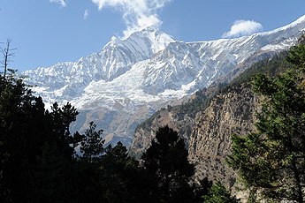
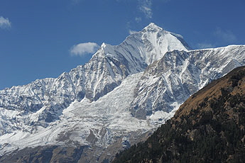
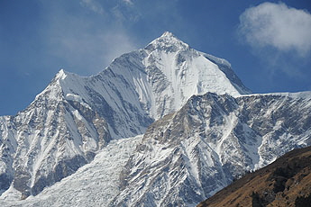
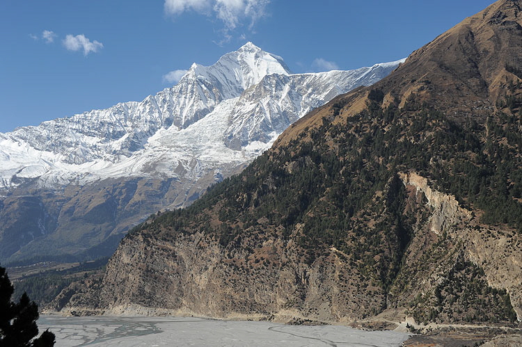
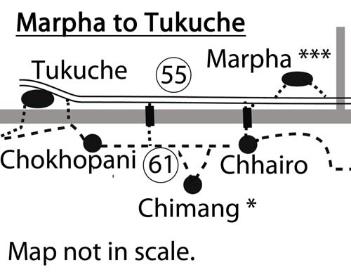
61: Marpha to (Tukuche) to Kokethanti- The eastern NATT-trail completely avoiding the road but with brethtaking views of Dhaulagiri and the icefall partially marked with red/white signs 8-9 hours.
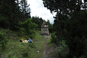
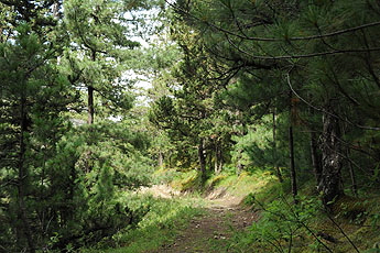
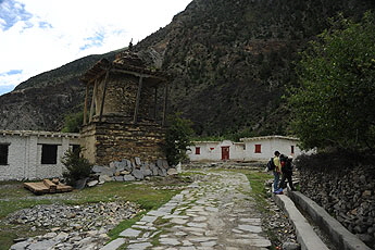
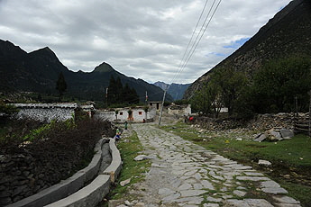
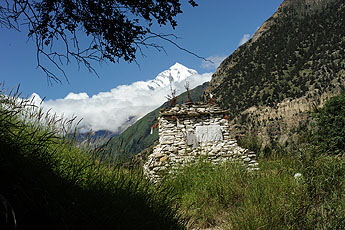
This is a very long day. You can take a break in the beautiful Thakali village of Tukuche and walk the rest of the day on the road, but you should take this eastern trail even if you want to go to Tukuche. It is much nicer than the road. This part of the New Annapurna Trekking Trail was completely rebuilt by ACAP, which constructed a perfect trail with breathtaking views of Dhaulagiri through a nice pine and juniper forest. The new trail is much better than the old one, which has now become a dirt road. The trail starts at the bridge some 20 min south of Marpha leading to the Tibetan settlement of Chhairo. Go till there and turn to the right before you reach the village. Walking through a small forest, you will join a trail going south. After passing the ruins of the former Tibetan refugee camp you will reach the houses of lower Chhairo with a school and old stupa. At the end of the village turn to the left and follow the trail along the main valley.
You will come to a junction where the trail divides, with one path going left to a bit arduous but rewarding detour up to Chimang and the other path on the right goes directly to Chokhopani, which means “clean water”. If you are in a hurry you can take the short cut to Chokopani, which will take you around 45 min.
The lower direct trail: with red/white NATT signs on a dirt road through a forest and passing two houses with apple gardens. One of the sites is called Lucky :-) At a place with three signposts! You have to cross a little stream on the right and continue till you join again the trail coming from Chimang.
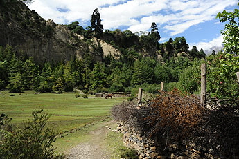
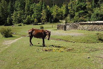
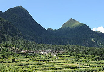
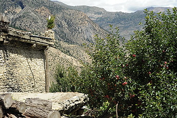
Chimang*: Far more rewarding is the left trail over the village of Chimang. The trail will lead you to some pastures below cliffs, as Chimang is situated on a plateau 100 m above the valley.
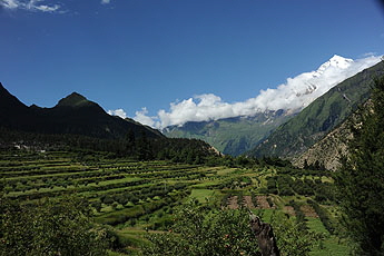
Climb up the stairs of the scenic gorge, at the split in the road take the right stairs and you will reach the fields and apple orchards of Chimang with beautiful views of Dhaulagiri, Tukuche peak and the lower Mustang valley. Every meter you have to climb and every drop of sweat is definitively worth this side trip.
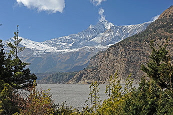
Dhaulagiri an Chimang apperears
The very fertile fields of Chimang
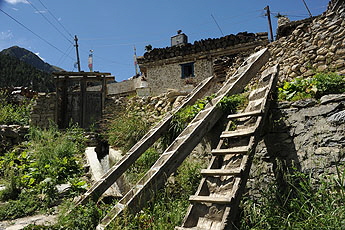
Just before the entrance door there are three huge Tibetan-style ladders, as the people of Chimang keep the doors closed, preventing their cattle from roaming into the fields. One can cross the lower part of the village and descend by a long staircase but the village is special and very beautiful so it is advisable to go up till the end and then go down by a scarcely used road. In the middle you will find the Chimang Hotel and Restaurant with 11 basic beds.
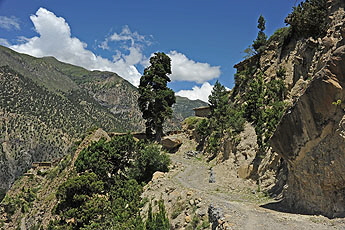
On the top of the village turn right and descend along the road. After having passed the village you can leave the road in a turn by just continuing straight on a larger trail. After a small wooden bridge about 80 m further you can descend to the river on a very idyllic path meandering down in the forest. Cross the road below and then the bridge over the river and continue on the other (south) side.
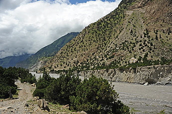
Continue on the trail, which will enter the main Kali Gandaki valley.
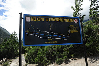
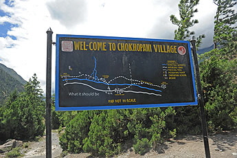
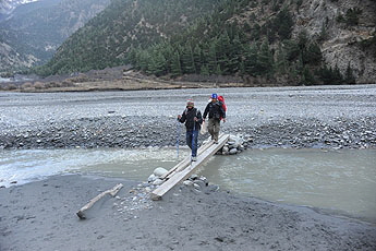
The sign board seen near the bridge (left) and how it should be (made with photoshop) (right photo) First possibility to go to Tukuche: Soon you will see on the other side of the river a huge Buddhist painting on the rock wall, shortly after a suspension bridge which spans the Kali Gandaki. After crossing it will take you about 30 min on the road to Tukuche In the dry season (normally the end of October / early November to May) you also can cross to Tukuche on wooden planks, which will serve as small bridges over the then -numerous small arms of Kali Gandaki just after Chokhopani. Continue on the marked trail, taking care not to enter the military area on the right. Take the left trail passing by a small Ganesh shrine. After crossing a very large area, where the river deposits new rocks and pebbles every year and there is no possibility to keep a marked trail, you will see the few houses of Chokhopani. Now you will have to search for a trail in the general direction. After some trails you can see the few houses of Chokhopani and three trails going up the mountain; yours will be the lower one on the right.
Chokhopani (2585m)
There is one basic restaurant where you should eat if you don’t want to cross to Tukuche. Leaving Chokopani you have two choices. Either you continue on the eastern side of the river to Sauru or you cross the Kali Gandaki on small wooden bridges to Tukuche. This is only possible during the dry season. ‘
on the left side you can just see one of the last houses of Chokopani and near the river the trail climbing up the hill to the right side.
There are three good reasons to step over to Tukuche
see the page: NATT trail No. 62 Crossing to Tukuche
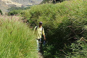
Eastern trail: Chokhopani to Sauru (2-2.5 hrs..): The Dhaulagiri View trail! When i first took this very new trail i could believe what breathtaking views i had on Dhaulagiri. if you takethe right riverside you just see Dhaulagiri from Kobang on and never see it so beautiful like from this riverside. ACAP mad a great new NATT trail! therefore i would always return to the left riverside when i have been visiting Tukuche! If you want to continue without crossing the Kali Gandaki and bypass Tukuche you will have to climb some 200m to the top of the trail above the high cliffs.
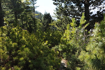
the pine forest
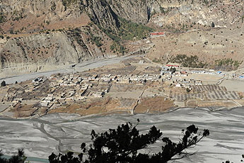
View of Tukuche
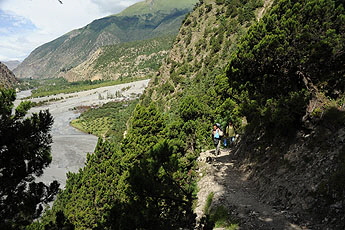
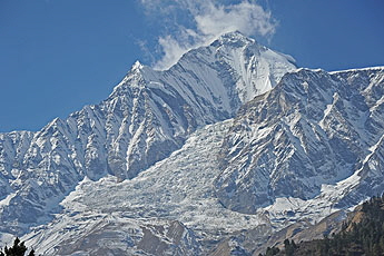
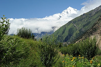
climbing up you see more and more the Dhaulagiri and on the other riverside Tukuche Dhaulagiri and the Icefall
You dont have to climb up the hill to get a perfect view. Even when you cross the Kali Gandki againe in Tukuche and avoid the hill climb you will have excellent views from the river level.
Sauru
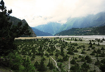
Winter and monsoon season
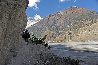
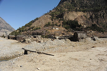
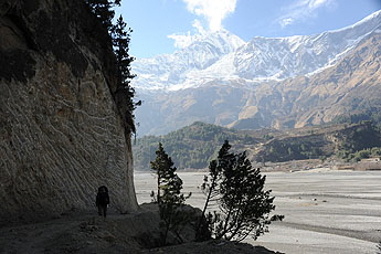
Sauru has some stone houses on the hill slope but also several wooden huts in the plain of the river delta. In the season you should get some tea and I was told that two of the new buildings will be lodges. Not so bad because there are still 2.5 hrs. to walk till Kokhethanti and you might prefer to stay here if it is already late. crossing to Tanti and Khoban by little bridges In the dry season you can normaly cross the Kali Gandaki on small wooden plank bridges like between Chocopani and Tukuche. and join the western trail NATT 63. (Naurikot***, two lakes, Dhaulagiri Icefall) . If you have another day time, the western side ofers some excellent treks and i like it more than the eastern trail from Sauru on. But you will need one day more. Have a least a look to it. Eastern trail: Sauru to Sirkung and Kokhethanti (this part of the trail is not marked) 2 .5 - 3 hrs. From Sauru continue walking south crossing a little side river. The trail will go along and above the river with some up and downs and is sometimes carved out of the rock wall. . After some time, the trail changes to a bigger road-like trail made by bulldozer. It leads first to some houses of Sirkung and then further in the direction of Kokhethanti.
On the left photoyou can see on the other riverside on a ridge the beautiful village of Naurikot for which it is worth changing again the sides.
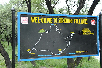
In Sirkung there is this signboard showing a direkt trail to Titi lake. i have not tried this trai but taken the trail starting after Khoketanti. A Titti lake can find a lodge. i can not tell you how long it takes from Sirkung but i guess around 3-4 hours. it looks that you would have to climb a lot!
Continuing to Khokethanti The road-like trail, which is not in used for traffic, will pass near the bridge over the Kali Gandaki, leading to Larjung on the other side of the river, and continue straight in 15 min to Kokhethanti.
Kokhethanti (2500m) has 3 basic lodges and is stretched along the trail. From Kokhethanti you can continue climbing up to Dhampu and then reach Kalopani in around 40 min. Kalopani has better lodges but the main road is passes through the village. You’ll have to decide what you prefer.
Overview Annapurna region Marpha
  To the page To the page
|


 Stepping over to Tukuche