|
|
Nepal,Trekking the Annapurna Circuit Painting the Nepal Himalayas
by Prem Rai and Andrées de Ruiter
you can enlarge most small pictures by clicking in on of the corners. if you want to see a picture in full sizze, click additionally on F11
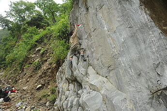
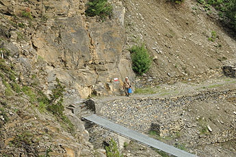
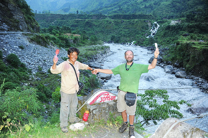
Teh first marking of a trail in the Annapurna region. The beginning of the NATT story started in even before the construction of the road in the Kali Gandaki Valley. Coming from Muktinath I had visited the beautiful villages of Chengur and Jhong and was absolutely fascinated by their Tibetan style culture. Unfortunately the normal trail between Chongur and Kagbeni was off limits, as it definitively was in the restricted area of upper mustang and several policemen were fierce guard dogs in Kagbeni. In 2007 I asked in Kagbeni if there was a trail avoiding the forbidden part of the northern trail and found someone who could show me an alternative trail. On the way we marked this trail with red dots hopping that other people could find it as it was a rather hidden trail. But then I realized that I was leading people to a rather difficult and even dangerous trail. During 20 m one had to walk on top of the small wall of an irrigation channel following a huge rock wall. Lt was. was maybe 15 meter high. I didn’t t mind so much as I was often climbing in the mountains but then I realized that people with fear of height would have really serious problem or even fall down. So i did soon stop to promote this hidden trail. Later it was officially allowed to take the road trail from Kagbeni to Jhong.
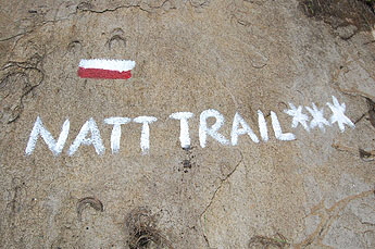
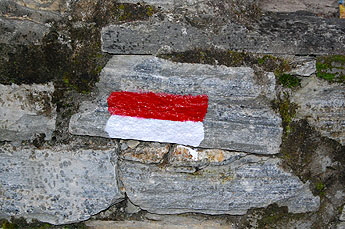
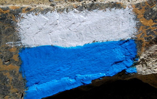
The beautiful NATT-trails avoiding the road on the Annapurna circuit. When the road construction was started it was soon be clear that people would not like to walk on the road. But nobody could tell and show us the alternative trails. With my Nepali Partner Prem Rai, I did the Jomsom trek route in December 2010 and we could walk nearly all the way to Tatopani along the separate pure trekking trail. I was very pleased, but we often had some problems finding the right trail at various junctions. Therefore, we approached ACAP in Pokhara and I explained the system of marking trekking trails in the European Alps by painting rocks or trees on the way. This is a much easier and much more economical and efficient way than only putting signposts. We proposed to use red/white marks for the main AC trail and blue/white marks for side trails.
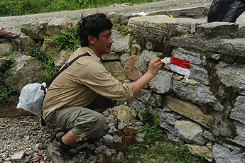
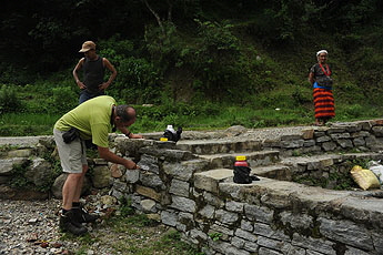
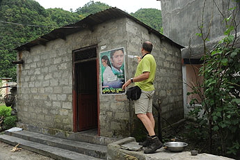
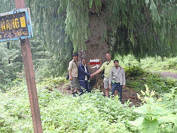
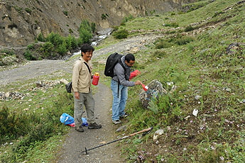
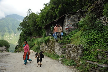
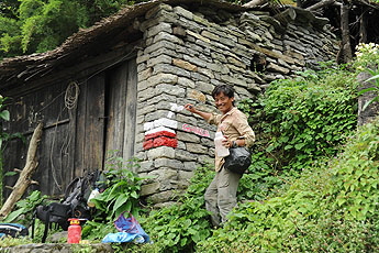
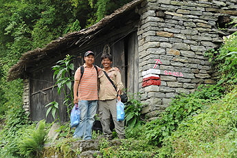
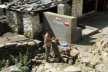
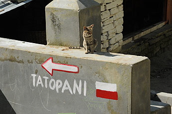
ACAP liked this suggestion and so Prem Rai and I started in August 2011 with 5 litres of enamel bought in Besisahar. In the Kali Gandaki valley, we were joined by the Jomsom ACAP staff member, Mr. Rishi Ram Dhakal and two days later, we were also joined by Mr. Bel Bahadur Pun and the guide Mr. Hari Nepali. For the Tukuche & Dhaulagiri Region we were helped by Mr Man Prasad Thakali, who is the owner of the Dhaulagiri Icefall Lodge in Kokethanti . Later that summer he marked the Jomsom trail to the Dhaulagiri Icefall with people from ACAP. In December 2012 we were joined by Mr. Brij Gurung and Keshab Tamang The markings: In addition to the signposts, we marked the trail by painting marks on rocks, utility poles, houses and sometime trees. As long as the trail is obvious, we did not mark when the trail is following the road. In some cases, we had to add some arrows to explain the route, but often you just have to look around a little bit at a junction and you will see the next sign. All of us from the Himalaya Painting Team hope that this painting campaign will make it easier for trekkers to follow the minor trails.
The red sign is for the major trek routes, the blue white is for side treks
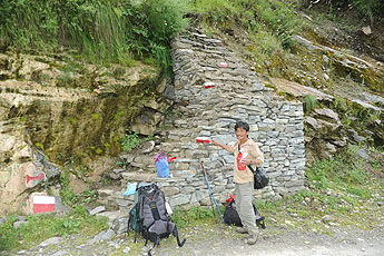
Starting: the first sign at the roadjunction to the NAtt trail from Besisahar to Bhulbule. Prem Rai was Mr. Red and i was Mr. White
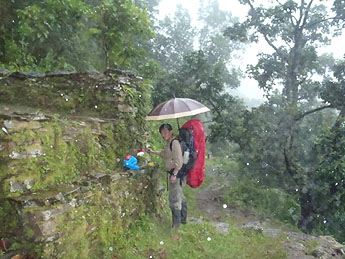
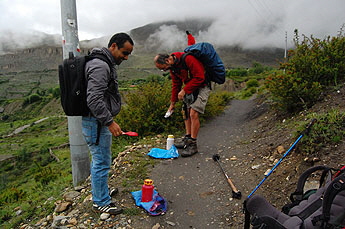
We started in the early afternoon in Besisahar, but it was during monsoon, so soon it was starting raining, which made it more difficult to find dry rocks. During the first painting campain we were often pretty wet.
Finding the best place for the mark was not always easy but sometimes rather clear.
Between talekhu and brathang we met the road construction ingenieer and his team. he liked very much the work we where doing. With a little help from my friends
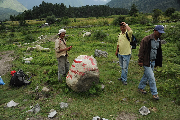
On the Muktinath side we were joinde by staff from ACAP who helped with great enthusism . The idea was that after this training ACAP would continue on his own. (right photo: Prem Rai) Aspecial task was to find a possibility to makr this junktion with four different trails. here a signpost would have been much better bu so we made the coloured stone :-)
There is now a beautiful natural trail between Lete and Ghasa and i hope that our signs will help you not to miss it.
After Ghasa the NATT trail crosses the river and is again far away from the dirt road. Finaly the whole Ac was marked from Besisahar to Tatopani! i hoppe that our marking will help oyu to find the beautiful NATT trail and enjoy again this marbvelous trekking area. Thanks also to the people of ACAP who helped us . 
Have also a look to my facebookgroup:
|
||


