|
|
|
Nepal,Trekking in the Annapurna Circuit
you can enlarge most small pictures by clicking in on of the corners. if you want to see a picture in full sizze, click additionally on F11
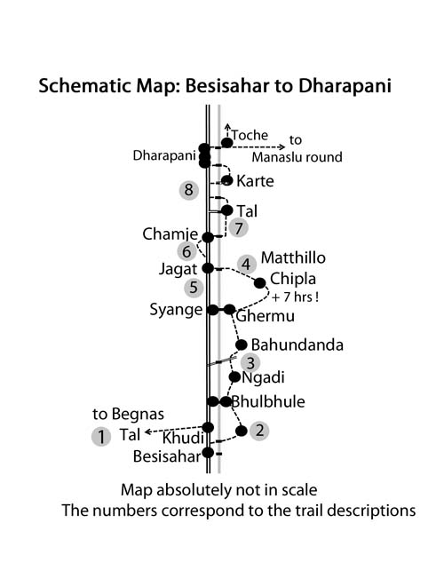
shematic trail map from Besisahar to Dharapani
From Besisahar (810 m) to Bhulbhule Many busses continue either their journey from Besisahar to Bhulbhule or even further. Otherwise one can take a bus in Besisahar to Bhulbhule (or maybe Jagat) or take a Jeep. If you want to take a Jeep to go further up be aware that they normally start already full in Besisahar. For this reason it is very difficult to get later a place along the road so you better step in already in Besisahar. Besisahar is probably the only place for westerners with long legs to get a front seat.
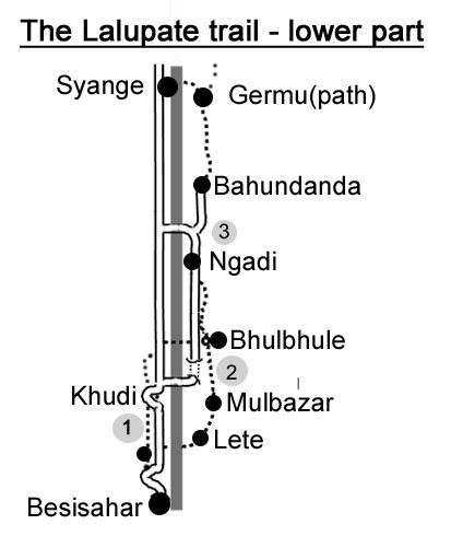
The Lalupate Trail
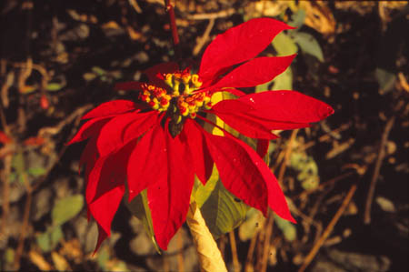
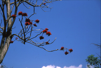
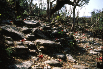
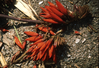
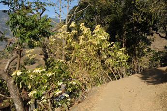
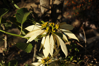
Lalupati is the Nepali name for the wonderful poinsettias with their large red flowers. Here in nepal they are even sometimes white. The blossom is late October to January and In the lower parts of the Marsyangi valley there are abundant so we gave this name for the awesome trek section from Besisahar until Tal. dont miss the lower part of the AC, it is amemorable and beautiful side of Nepal and i NEVER! met anyone who was regretting these extra trekking days. In 2017 a new beautiful trekking trek was built from Besisahar to Bhulbhule and it is absolutely worth going. So the Annapurna Circuit begins again right in Besisahar! J
From Besisahar (810 m) to Bhulbhule or Ngadi or Syange by public transport Western side: There are roads on each side of the Marsyangi River. The western one leads to Bhulbule (west) Syange and continues till Manang. Depending on the road condition sometimes buses continue up to Syange. Ask the bus drivers. If you want to stop in Bhulbule you have to cross there the bridge to the eastern side.
Eastern side: The road crosses the Marsyangi River at the powerhouse just after Khudi, passes through a long tunnel (which is also allowed for pedestrians) and passes below old Bhulbule. There are regular buses around every hour, ask the bus driver to stop in Bhulbule if you want to stop there as you don’t see the village. The bus will continue to Ngadi which is also a perfect starting point of the AC. In Besisahar you also can get jeeps driving up all the way to Manang. You can shorten your trek by taking a jeep to Chyamje, Tal, Dharapani or Temang- but you always should stay a night latest in Temang or Chame.
1. Walking from Besisahar to Bhulbhule** on the new Lalupate trail Besi Sahar to Khudi 2.5 -3 h red/white Start of Lalupate trail Most buses will drive till the end of Besisahar, where the road plunges to a side valley. Here Buses to Ngadi, Bhulbule and many jeeps will start.
Go down the dirt road till it makes a big bend in the lower part. You might see on the right some red white signs marking a short cut, but it is not really much shorter so it doesn’t matter if you miss it.
Descending you can already see a trail going up on the other side of the valley and a small suspension bridge leading to it. The bridge and the trail are marked with red white marks.
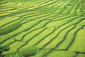
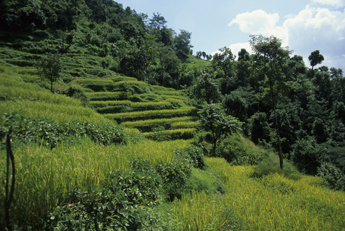
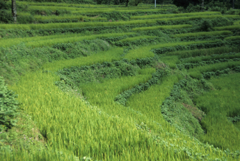
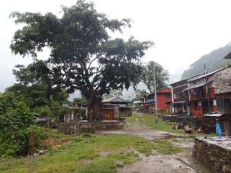
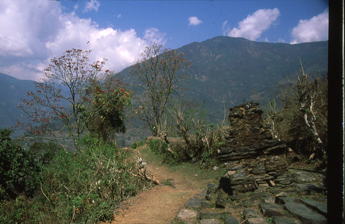
After climbing up to the same high as Besisahar the trail leads you to a traditional and charming village of Chanaute. The trail continues through rice fields and beautiful forest and is perfect for any nature lovers. After a while you reach the next village called Gotame Thogo which you pass on upper end. After a while you will descend to a side river with a newly built bamboo bridge and you will have to climb on the other side to the traditional village of Bhalamsera with many old houses. At the end of the village turn right on the agricultural dirt road. Follow this road till you see Khudi and the old bridge. There a short trail will descend to the right onto the main road. Just 20 m to the left a small trail descends to a suspension bridge It leads to the old center of Khudi. Cross the river , climb up to the road an climb up the slope After 8/10 min you will pass near the Gompa of Chabbise and cross a rural road and continue till a trail junction. Take the right side to reach Jyamire in 20-25 minutes. Descent to the main road and continue till Bhulbhule. You will already see the long suspension bridge, pass through the garden of the nice Thorung La Guest House and cross the bridge which leads to the main village of Bhulbhule. The owner iis activ in maintaining the Lalupate trail and can give you up-to -date information. The bridge will lead you to the main village.
If you come by bus climb up the steps from the road to the village. It is worth In Bhulbhule there are 3 Lodges.
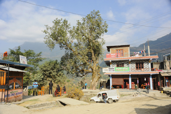
Walking from Besisahar to Bhulbhule east side old pictures from 2011 when Prem and i started the NATT project Starting from Besisahar you first have to follow the road. There is a pedestrian shortcut at the End of Besisahr, just on the right side at the beig tree before the road plunges down to the side river.
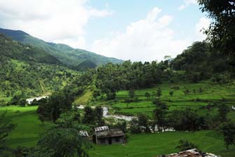
Teh lover Marsyangi Valley. On the right photo you see the last Busstop in Besisahar just before the road plunge down to a little side river. Here you can get a Jeep or start to walk down. A shortcut trail starts just behind the big tree.
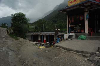
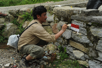
You have to follow the road for about 25-45 min till you reach some little shops. You can already see the bridge leading over the Marsyangi River. Watch out for the red/white NATT sign. On the right photo Prem is painting the first NATT sign of the side trail to Bhulbhule.
First you reach the little village of Le the you continue beautiful paddies to
Mulbazar
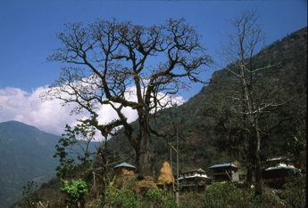
from Mulbazar there is another step ascent through lushy pady field to the village of Simalchaur. Simalchaur got his Name from the famous Simal tree, which blossoms in January with big red flowers. These trees grows all around the village and a particularly beautiful specimen grows in the village itself
Simalchaur
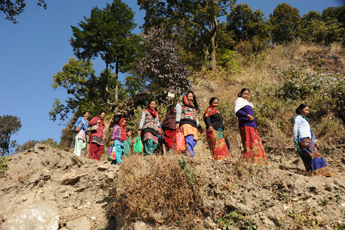
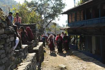
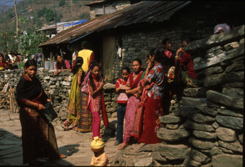
The simal trees When we were in Simalchaur many people wher coming for a big village gathering
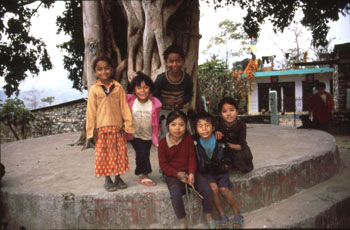
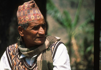
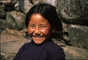
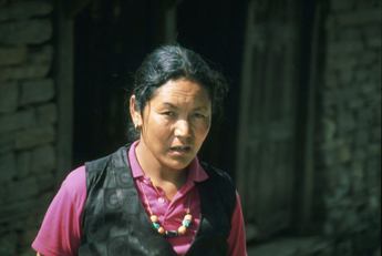
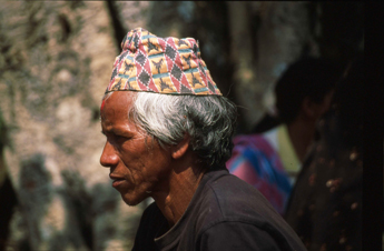
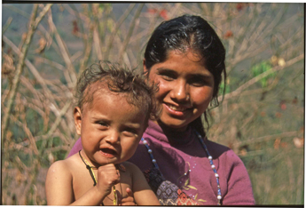
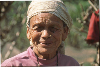
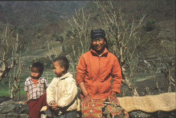
The main reason why i love so much to come to Nepal are the wonderful and beautiful people :-)
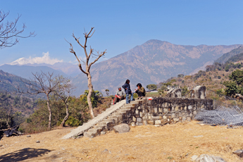
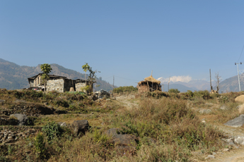
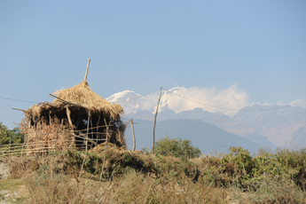
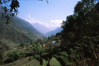
After Simalchaur one has still to climb some mor altitude meters. But from above one has a beautiful view into the Marsyangi valley and at the horizon the Manaslurange
i was very astonished when i saw these white poinsettias
After climbing a lot the trail descents towards Bahundanda again through lushy green Paddies.
And finally you reach Bhulbhule
Overview Annapurna region Begnas tal to Besisahar   To the page To the page
Have also a look to my facebook group:
|
