|
|
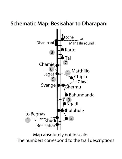
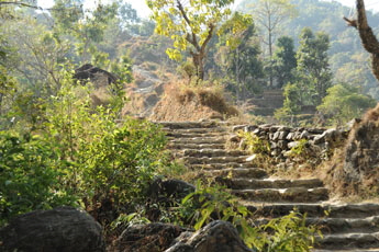
Around Annapurna: On this page you will find pictures over the trail from Bhulbuhule to Germu corresponding to the NATT trail no 3 . This trail avoid nearly completely the road.
you can enlarge most small pictures by clicking in on of the corners.
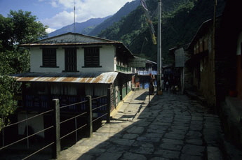
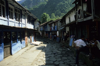
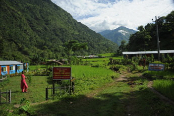
Starting in Bhulbhule For many people Bhulbhule will be the starting point of their Annapurna Circuit. Bhulbhule is a nice place to recover from the bus journey but if you arrive in the afternoon it is not a bad idea to continue a little bit and stay in one of the beautiful garden lodges on the way to Ngadi. The reason is, that the climbing to Bahundanda the next day is not only particular steep but you feel like being in a grill of the strong morning sun. The earlier you will start the climb the less you will suffer.
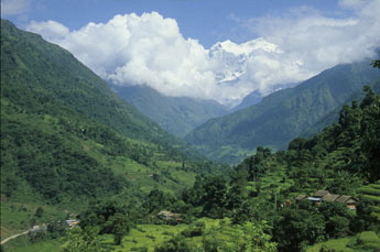
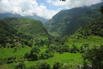
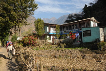
The Marsyangi valley with Manasul range above the clouds In the beginning the trail goes through patches of forest and very green fields. There you will find plenty of little garden lodges with beautiful flowers scattered al along the way to Bahundanda.
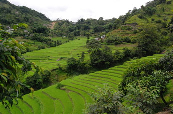
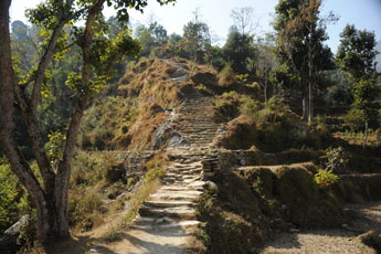
Bahunddanda lies above a ridge in it is allwaqya a long climbing. along terassed fields
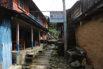
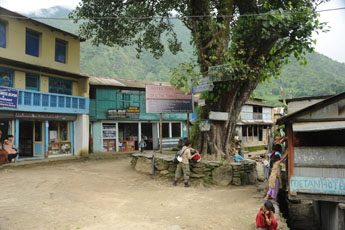
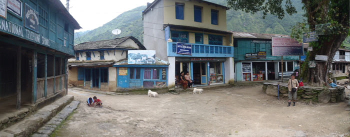
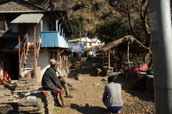
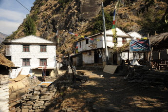
In Bahundand you will several basic lodges and a modern one left on the hill. Since the opening of the new road there was a very strong decline in tourist arrival walking thought Bahundanda of about 75 % but i just can recomend this wonderfull part of the AC. .
View back from Bahundanda From Bahundanda its a step descent and then you will walk throug fields an forests further north.
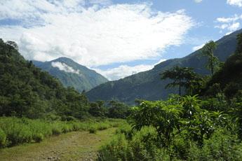
The green fields below Bahnudanda
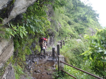
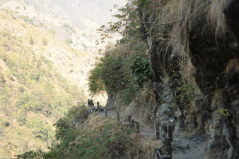
On the way to Germu you will come to the little hamlet of Lili Bhir. Bhir is the Nepalese Word for “cliff” and when you get to the outskirts of the village you will understand why it got this name. Here a section of the trail had to be carved out of a steep and high cliff just above the Marsyangi River. You will be happy that someone put some handrails there, especially if the trail is wet and slippery.
In the summer of 2001 the well-known Kathmandu-based journalist Mr. Kanak Dixit was trekking around Annapurna clockwise. It was monsoon and so the trails were often wet and slippery. Having passed Thorong La, he was on his way from Ghermu(phant) to Bhulbhule when he slipped on the small trail near Lili Bhir and felt down the cliff. He was just stopped some 150 m below by some bushes above the river but in his fall he broke three vertebrae and was unable to move or climb back up. His shouts were drowned by the roaring sound of the river so he tried to get attention by waving with a piece of plastic on a little stick. Unfortunately, nobody saw it. For three nights and four days he lay there, trying to survive by getting some rain water from the rocks and eating some grass. He even tried to eat some fruits which monkeys had thrown at him, but they were far too bitter. It is only at the fourth day when he was close to death that a porter named Lok Bahadur Lama from a nearby village spotted him. Lok organized his rescue and later the transport to Kathmandu by helicopter. The journalist made a full recovery and to this day is still active and renowned in his profession. A few years later he set up a drinking water project in Lok Bahadurs Village and also a project for bringing electricity to the village. Mr. Kanak Dixit also donated funds and organized the railings built on the stretch where he had his accident near Lili Bhir and now the trail is much safer. Let’s thank him for this! In the past several people had fallen down at this place. It is said that one of them was a French trekker named Lilly, which is how the cliff and the village got their names.
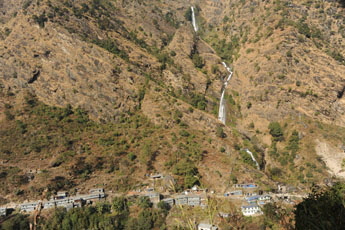
GErmu itself is a verly long village stretched along the trail. At the end of the village you can see the bridge crossing the Marsiangy river to the houses of Syange. And oyu see a marvelous huge waterfall on the other riverside. if it is already afternoun it is worth staying in Germu(path) as you will have much longer sun than below in the valley.
Overview Annapurna region Besisahar to Bhulbule   To the page To the page
Have also a look to my facebook group:
|
|||||||


