|
|
On this page you will find some information and pictures of a poassble side trail from Germu to Jagat avoiding completely the road. It corresponds to the trail description no.4 in the Annapurna NATT guide book
you can enlarge most small pictures by clicking in on of the corners.
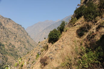
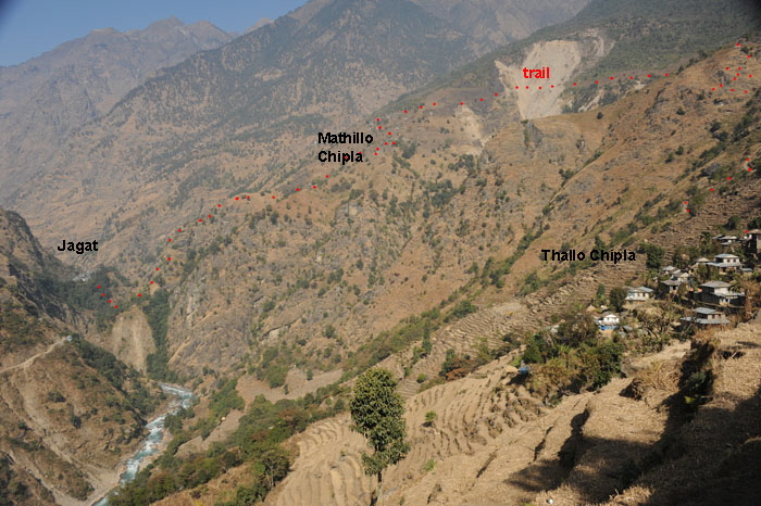
NATT 04- The high route from Ghermu to Jagat. 4. Alternative High route from Ghermu to Jagat high route 7 hours Start point is Ghermu: There is a way to avoid walking the road up to Jagat by climbing up around 850 m to the villages Tallo Chipla and Mathilo Chipla instead. From there the trail will descend back to the river, which you can cross directly below Jagat. We marked this rewarding high route in Red/White, because we thought that it might soon become the main trail, avoiding completely the road to Jagat. This was perfectly acceptable for the trail to Tallo Chipla but when we continued to climb up to Mathillo Chipla, we realized that this trail was quite a bit more difficult to find and took much longer than we had expected. To summarize: it is an absolutely great route but with a demanding 850 m ascent. You have to count a full day of trekking. So if you are strong and love to trek in the green hills, this route will be a rewarding one. Trekkers will have to decide if they want – the scenic rewards of the high route or the easier 2.5 hour walk on the road with much less climbing.
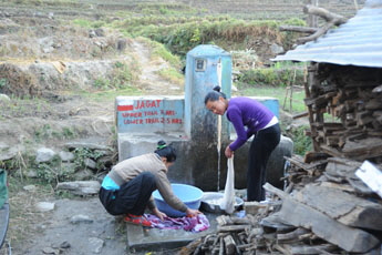
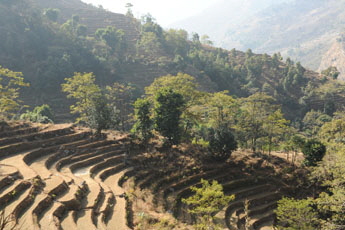
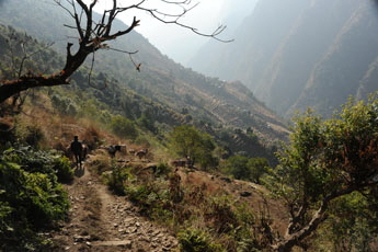
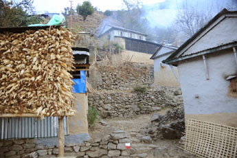
The trail to Tallo Chipla starts at the end of Ghermu just before the Rainbow Lodge. Turn to the right up the hill until you reach a fountain where you take the main trail to the left. This trail will lead you through fields and forest. After about 1.5 hours you will reach the school of Tallo Chipla (1400m) and soon enter the village.
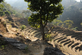
Thallo chipla From here you will have to climb a high grassy ridge 1750m) which offers nice views. On the other side of the ridge you will first see a huge
landslide and behind it two villages which are both part of Mathillo Chipla. After the ridge turn right into the forest on several rather confusing little
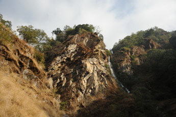
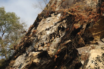
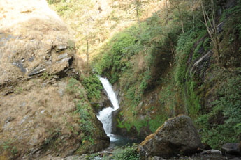
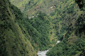
jungle trails leading gently down to two great waterfalls and a huge rock wall full of wild beehives (Nepali call it rock
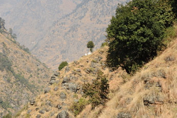
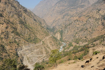
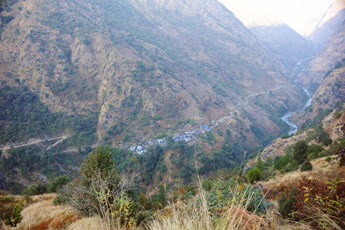
View on the other riverside with the road going up to Jagat. The little white house after the bends was in maobadi time their perfect checkpoint. The road was not build then and one had to climp a step trail so that they could see you a half hour in advancve
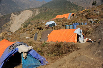
a road construction camp, as in many places in nepal many new roads are under constuction
The big rock wiht wild bee hives you first have to climg above matthila Chipla and then cross a huge landslide. then it is just plungin down to the river.
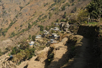
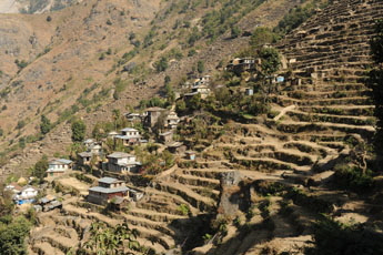
houses of the lower part of Matillo chipla and a view of Jagat on the other riverside
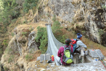
crossing the river Marsyangi below Jagat. it will take you another 10 min to climb up there Overview Annapurna region Bhulbhule to Ghermu   To the page To the page
Have also a look to my facebook group:
|
|||


