|
|
Nepal, Trekking around Annapurna - the Manang side
you can enlarge most small pictures by clicking in on of the corners.
15. The former trail by Latamarang: On many maps you will still see a trail leading along the river and passing by Latamarang. In fact this trail is actually closed, as the construction of the road with blasts and falling big rocks makes it an absolutely “no go” area. Even the locals living there had to leave. In the past this was a beautiful trail with a small hot spring in Latamarang and a lovely trail above the river. In 2012 we went there with a guide from the ACAP and realised that this trail is not passable because of many landslides which have occurred in the last 6 years. Also many bushes and little trees have already started to grow on the trail. Therefore, don’t try it but take the route up to Temang. My guess and hope is that in a few years the trekking trail will pass again along the river by Latamarang. The exploration of the former Latamarang trail
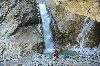
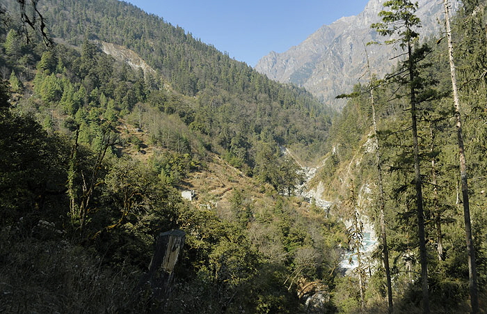
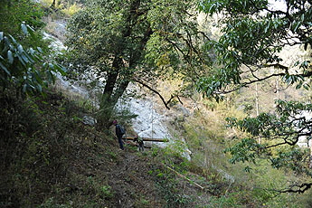
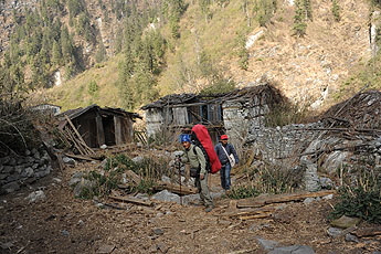
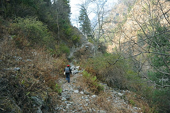
Starting point was Danaqyu and in the beginn we had to folow the new road where we passed this great water fall The former Latamarang Trail leads though the Marsyangi Valley while the road is going much higher. When the raodconstruction started, al inhabitans below had to leave the area and noone is living there anymore. People come to cut wood or to bring there their cattle.
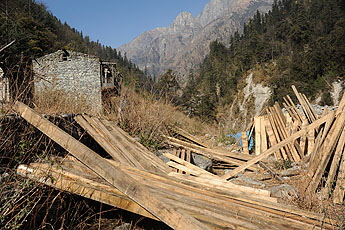
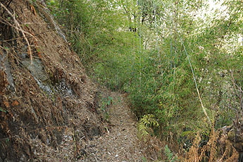
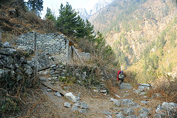
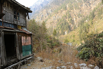
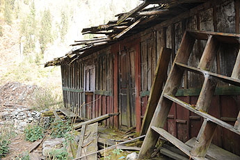
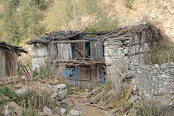
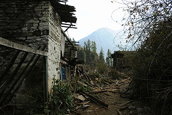
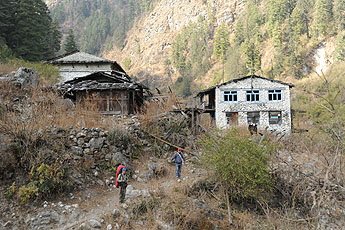
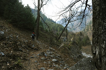
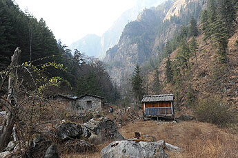
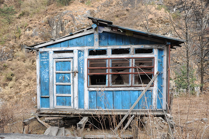
The trail was often veri difficult to find or to follow and often completely destroyed by landslides. And even when the road construction started just 10 Yearsbefore thes photos were taken, most of the houses where already comletly in ruins.
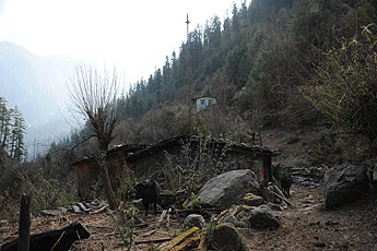
The former village Latamarang, where i had stayed twice before ist now just a dillapidated ghost town
continuing afte Latamarang
We did not make it all the way to Koto this day, so we climbed up to Tanchok. But anyway it was clear that it will tak a lot of effort to revitalise this former trail. let’s hoppe, that this beautiful trail will be fixed again in the future. Overview Annapurna region Chame to Bhratang to Dhukur pokhari   To the page To the page
|
||


