|
|
Nepal, Trekking around Annapurna - the Manang side
you can enlarge most small pictures by clicking in on of the corners.
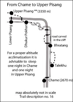
NATT-trail no. 16: Chame - Bhratang – Dhukur Pokhari 5-6hrs. Chame-Bhratang: 2-2.5 hours: After the bridge you turn to the left into old Chame. The Gompa on the left side is not extraordinary but situated in a very shanty courtyard, which is worth looking at. People interested in Gompas can ask the people of the surrounding houses for the keys. Don’t forget to give some donation for the Gompa and a tip to the person showing it to you.
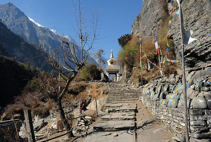
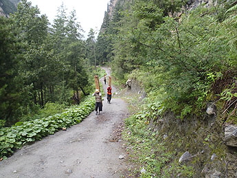
As in 2014 the Jeeps are already plying at least till Bhratang the new bridge and the road must have been constructed and i dont know if they will not pass exactly on the trail shown on this pictures. The beautiful Chorten at the end of Chame Continuing through nice a pine forest, after 25 min you reach Talekhu (2710 m).
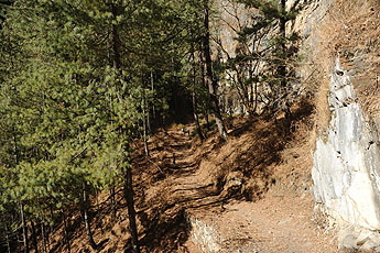
Alternative NATT-trail: Just a few minutes after Talekhu a trail turns to the right into the forest. It is difficult to find, as the road was lowered and you first have to climb to the old trail beside the road. Look out for the red/white NATT sign.
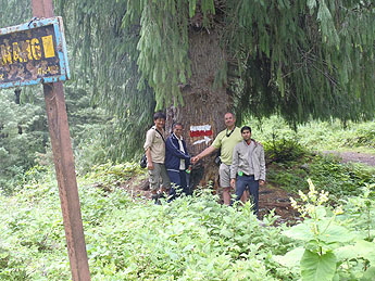
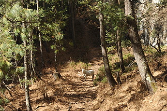
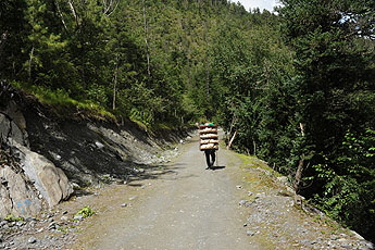
At the junkion and beginning of the fairy NATT trail we met the responsible road ingenier and his team This trail is just marvellous, leading through a dense pine forest and some meadows with often nice views to the opposite side of the river with some breathtaking waterfalls; it is also much nicer to walk on the soft forest trail than on a hard road.
After three kilometres you re-join the road
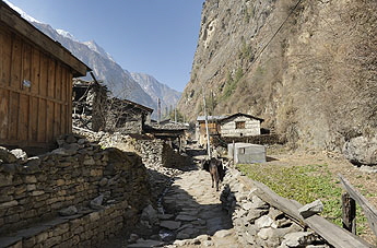
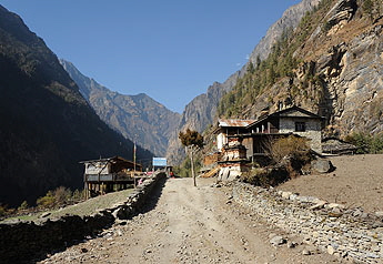
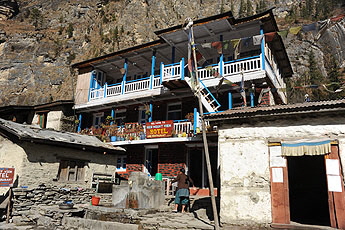
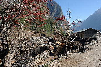
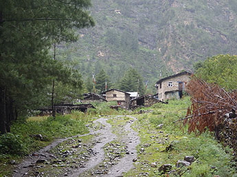
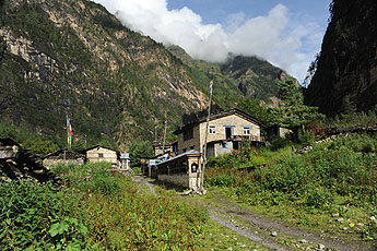
You will reach after 30 min the lodge settlement of Bhratang, which is surrounded by apple orchards. Apples can't grow in the warm areas; they need some frost in winter and feel much more comfortable up here. They are grown near Chame and mainly on the other side of Thorong La in the upper Kali Gandaki valley; I prefer the apples of Kali Gandaki, which get more sun and taste better. Bhratang (2800m) has only one lodge left. As the road is passing right through the village, the one lodge was already destroyed and Brathang might look no very different than on theis photo.
Pictures from 2013 Bhratang - Dhukur Pokhari: 3h
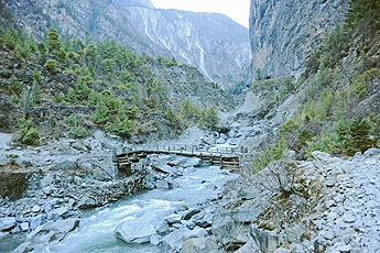
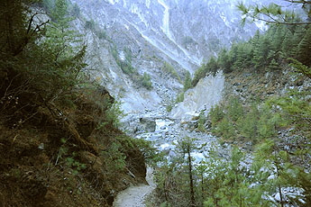
As a result, on the other side of the river the ACAP has built an excellent trekkers’ trail which bypasses this carved road. Soon after Bhratang take the red/white marked trail which will lead you down to the river and cross on a beautiful wooden bridge. Be careful not to choose the provisional temporary caterpillar trail along the river but climb up on a little plateau with nicely-scented pine trees. Follow the gentle trail and take in the spectacular view of the carved road stretch on the other side of the river. After a while the trail plunges down to the river again and this time you will cross the Marsyangdi Khola on two connected wooden bridges. Climb up till you reach the road and turn to the left.
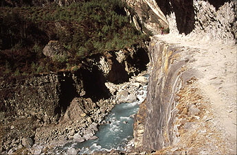
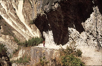
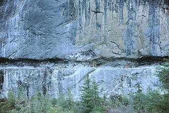
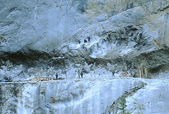
The road carved out of the rockwall
From the right side of the river one can admire this spectacular road strech. When i made these photos workers were still drilling holes in the rock for the dynamite enlarging the road so that jeeps could ride on it.
After walking on the plateau you will cross again the river on a second little bridge
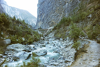
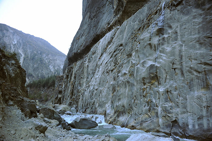
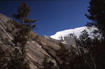
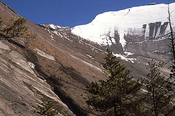
The valley turns to the left in a sort of polished enormous rock wall, which I call the soup bowl. The local people call it Swarga Dwari or “Gateway to Heaven”, as the souls will have to climb up here to reach heaven. There are many grave markers by the trailside, as this is an auspicious place to be buried.
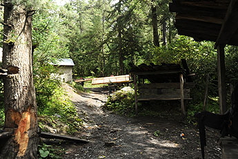
Cross the river on a suspension bridge and climb up through a dense forest. The trail on soft pine soils crosses once the road to join it later, there are some red/white marks.
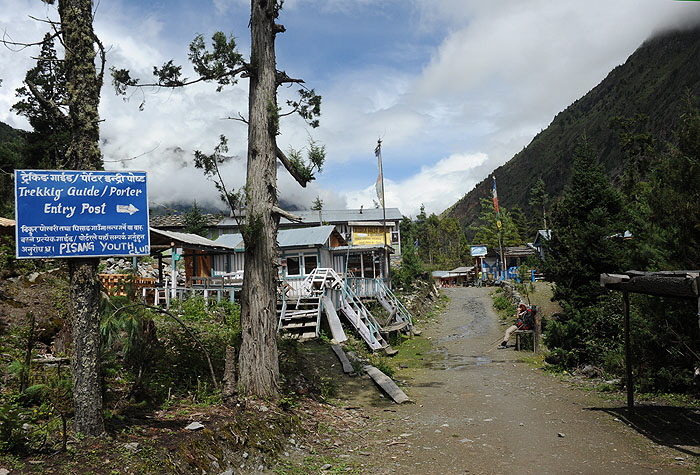
An hour’s walk after the bridge you reach the long stretched lodge settlement of Dhukur Pokhari. After dhukur Pokhari you can continue on two trails. The first one is the high route passing by Upper Pisang, Gyaru and Ngawal. it will take oyu 2 days more but it offes some of the best views of the treks and gives the best altitude acclimatisation. if you sleep either in Gyaru or Ngawal this would equal the additional acclimatization day in Manang so that you could skip it. The second possibility is to take the lower route along the valley passing by Humde. The trail is going on the already existing dirt road and is much less pleasant. The only advantage is that you can reach Manang in one day. Both trails reunite before Manag in Munji before Braka.
Overview Annapurna region   To the page To the page
|
|||||||


